After Hurricane Katrina ravaged the southern coastline of the United States in 2005, Elizabeth Carter found herself on the Gulf Coast following the tropical storm’s aftermath. Witnessing the devastating impact of the hurricane on infrastructure and communities, she decided to place her undergraduate education on hold and join the efforts to rebuild – an experience that would be the catalyst for her future research.
“It was pivotal a time in U.S. history. It exposed a lot of the ways that structurally our publicly funded infrastructure is shunting risk down socioeconomic gradients,” Carter says. “As a young person figuring out what I wanted to do in the world, I didn’t think I could walk away from something like that and retain my humanity.”
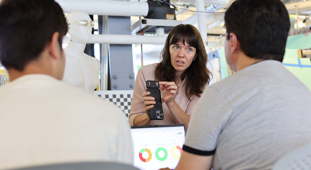
Ignited with a passion for the environment, Carter returned to school and received her bachelor’s degree in soil science, a master’s in environmental information science and a Ph.D. in environmental engineering with a concentration in water resources. Now working as an assistant professor in civil and environmental engineering with a joint appointment as an assistant professor in earth and environmental sciences in the College of Arts and Sciences, Carter is a computational hydrologist who studies the movement of water from space. Using data from satellites, these observations of water movement allow her to develop ways to respond to natural disasters and manage water resources.
She and her research team at Syracuse University have received a water resource grant from the United States Geological Survey (USGS) to develop a sensor network that measures flooding. This sensor network will help predict different types of flooding caused by natural disasters, particularly flooding in areas where people live, which is referred to as urban flooding. This project is known as the Urban Flood Observing Network.
“We’re hoping to build a sensor network for better urban flood response and labels for satellite images so they can map urban flooding everywhere,” says Carter.
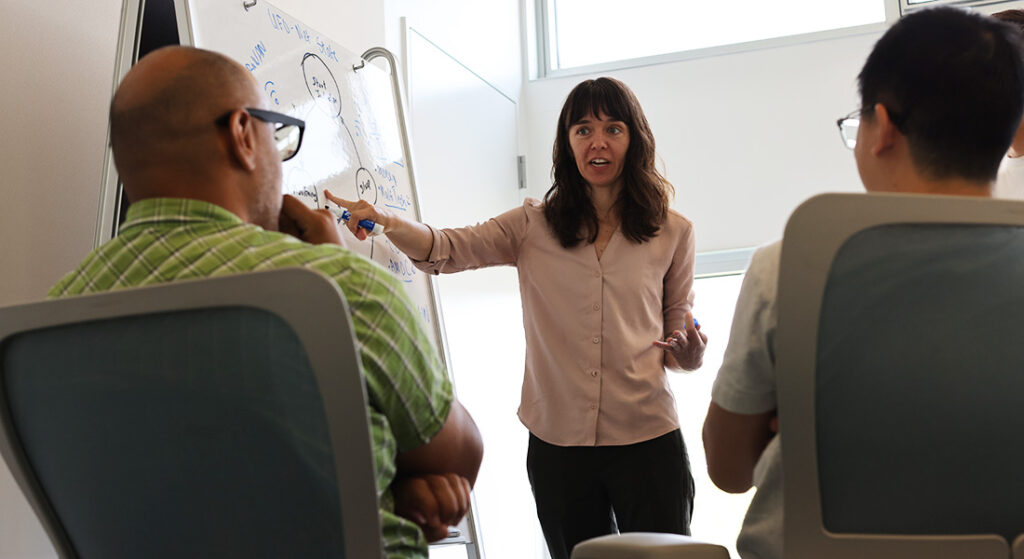
Fatemeh Rezaei G‘25 (environmental engineering), Huantao Ren G’21, Ph.D. ‘27 (computer science), Manu Shergill ‘24 (computer science) Nhy’ere Scanes, Ike Unobhaga, Kaitlyn Gilmore and Sharif Jafari are students from Syracuse University and Onondaga Community College (OCC) who have helped with the development of the Urban Flood Observing Network. Collaborators on the project include electrical engineering and computer science professor Senem Velipasalar and associate professor at the School of Information Studies, Carlos Caicedo.
“It’s been a great way to engage a lot of different students from different backgrounds and stages in their careers in hardware design, 3d printing, algorithm design, and photogrammetry,” says Carter.

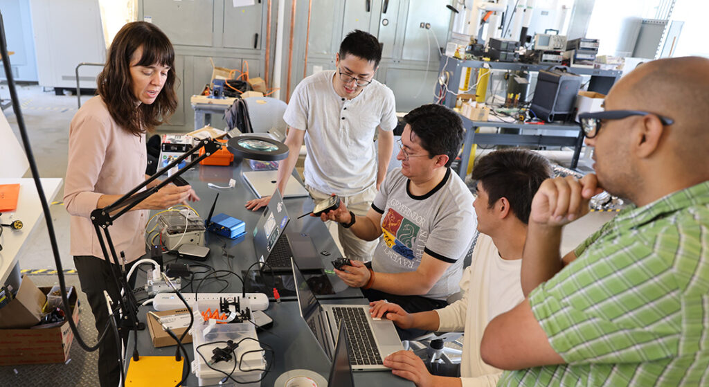
Shergill is the primary developer leading the project and has been working on the sensor network since 2021. During a summer internship in his freshman year at OCC, he assembled the initial version of the water sensor camera. He’s also been working on adding higher-quality sensors, wireless communications, machine vision, and other features to the water sensor camera, hoping to install it on the roof of Syracuse’s Center of Excellence for testing.
“The next thing I’m tackling is a remote start function, so we can trigger continuous data collection when a storm is moving into the area the sensor is monitoring,” says Shergill.
Carter has hopes the USGS will install these sensor networks in different locations where quick responses to flood events are needed which can help manage future flood events.
“It’s been great to collaborate with different students on this project and make an impact on tackling natural disasters that are a result of climate change,” Carter says.